The walk itself is listed as 'difficult' in many of the guides, I'm guessing predominately because of it's remoteness when actually up on the Plateau. The walk itself does have some short, tough sections and you also need to be well prepared in case the weather turns nasty (which it didn't for us), as the Plateau is very exposed.
Day 1 saw us arrive at the Sheep HIlls Carpark for the start of our walk later than I had originally planned, after a too lazy drive from Geelong. The first leg is along a well formed track that steadily climbs, with some nice views across to Cathedral Roca and the Serra Range, up to the Mt William carpark. From here you walk up a steep bitumen road that is closed to cars, which leads you up to the summit of Mt William for some great views. Although the transmission towers that also sit on top, do spoil the ambience a little. After recovering from the uphill climb, we headed out towards Boundary Gap along an easy track apart from it being covered in loose, cricket ball sized rocks that roll under your feet if stepped on. There were quite a few sections like this on the walk, and although I wasn't too fazed by them, my son found these sections hard going and was very slow on them.
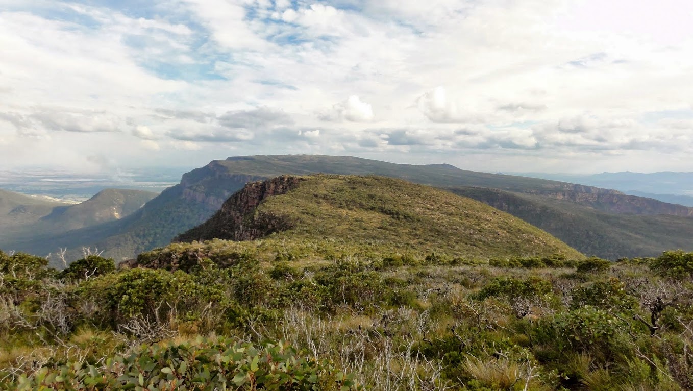
Leaving Mt William and heading towards Boundary Gap, with the Major Mitchell Plateau in the background.
Crossing Boundary Gap had been playing on my mind with the various stories of its steepness, the importance of ensuring that you stay on a sometimes difficult to follow track and the short rock scramble/climb at the end that leads you up onto the Plateau. The track down and up is very steep, with the many rock cairns and painted markers on rocks helping us to stay on track. On two rock sections right near the top of the Plateau, although not overly difficult, we had to pack haul, and had me wishing I hadn't left my rope length behind in the car. Once up on the Plateau there is approximately a one km walk to First Wannan Ck campsite. We were lucky to be the only campers there for the night, giving us the pick of the spots. The creek that runs through the camp was dry, even after a bit of rain fell during the night, however we found water in a creek approximately 600m further on along the track. We were prepared with enough water for two days, but am interested to know if you can usually expect to find water near the camp all year round (some reports say that the camp through the creek usually has water in it, although it didn't this time, and there had been some rain in the week leading up to our walk). All up Day 1 saw us walking 13km in approximately 6hr (incl breaks).
Looking back towards Mt William from the Major Mitchell Plateau.
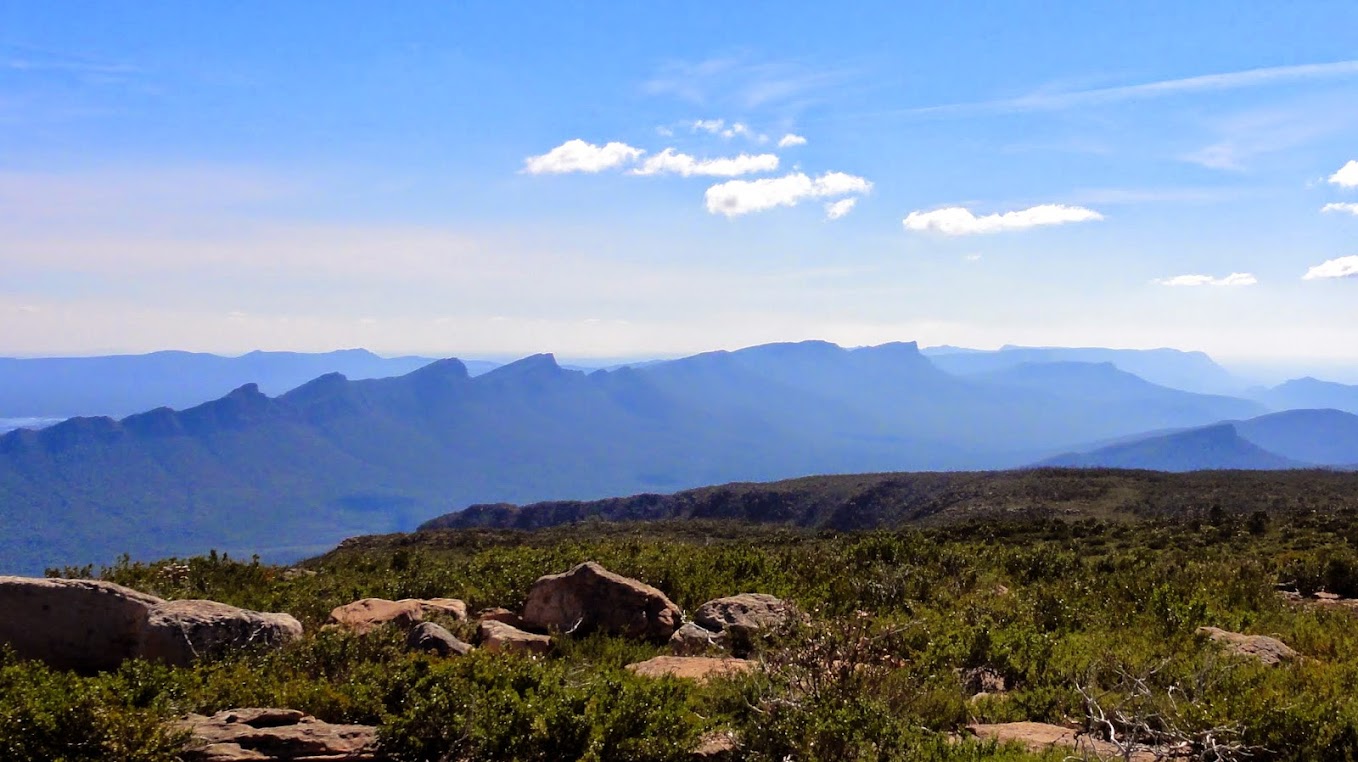
The view west from Durd-Durd across to the Serra Range.
On Day 2 the track mostly leads you along the eastern edge of the Plateau, resulting in fantastic views in all directions. Our morning tea just south of Durd-Durd (equal highest peak with Mt William in the Grampians) had us both wishing we could spend another night up on the Plateau. The track itself was easy to follow, with the many rock cairns again pointing the way, although in poor conditions this may be a bit different. The peak of Banksia Hill is the exit point for the Plateau with a very steep and rocky (and sometimes slippery) descent taking us down to Stockyard Track Junction. From this point on a rocky track leads you gently downhill to the Grampians Tourist Rd and then onto Jimmy Creek Campground. Jimmy Creek Campground has been extensively overhauled since the floods/fires, with new drop toilets, grass tent sites and water on tap. Day 2 saw us walking 14km in a (slow) 6 1/2hr (incl breaks).

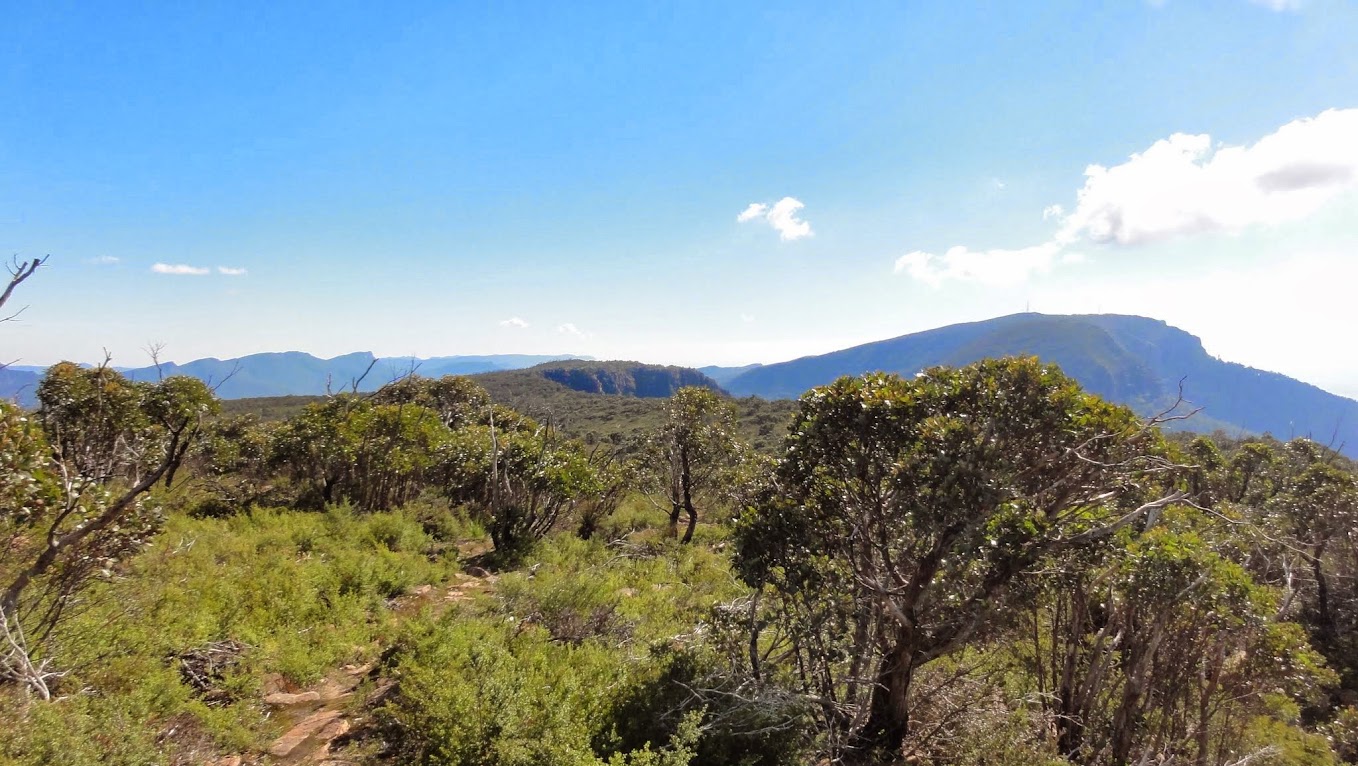
The track leads us southwards to Banksia Hill and then down off the Plateau.
Day 3 saw the clouds close in and rain start to fall. The walk following the Ingleton Fireline for 16km back to our car was actually better than I had been expecting, with the rain bringing out the colours in the surrounding bushland. The track actually had a 'Closed' sign (due to flood damage) at its start, however it was obvious that people were still using the track, so we headed off along it (rather than take the less than exciting alternative of walking back along the Tourist Rd). The track is closed due to the washouts at several of the creek crossings, although at each of these an easy side trail takes you across with no problems. The track itself is easy going and had us quickly back at the car by lunch.
Overall we had a fantastic three days, with fine conditions really spoiling us. We have definately got this walk on our list to redo again.